

Construction Drone Surveying & Mapping Services in Nebraska
Precision Drone Surveying for Construction Projects
At Advanced Aerial Solutions, we provide construction drone surveying services that deliver fast, accurate, and cost-effective data for your job site. Using advanced UAV technology, we help construction companies, developers, and engineers make smarter decisions with real-time aerial mapping, 3D modeling, and site analysis.
Drone surveying is transforming the construction industry by replacing slow, expensive traditional methods with high-accuracy aerial data collection and rapid turnaround times.
Why Use Drone Surveying for Construction?
Modern construction projects demand speed, precision, and efficiency. Our drone services provide:
Accurate Site Mapping – Capture detailed topographic data and site conditions
Faster Data Collection – Survey large areas in hours, not days
Improved Safety – Inspect hard-to-reach or hazardous areas without risk
Cost Savings – Reduce labor, equipment, and rework costs
Real-Time Progress Tracking – Keep stakeholders informed with aerial updates
Drone technology enables construction teams to reduce delays, improve planning, and minimize costly errors by working with up-to-date site data.
Our Construction Drone Services
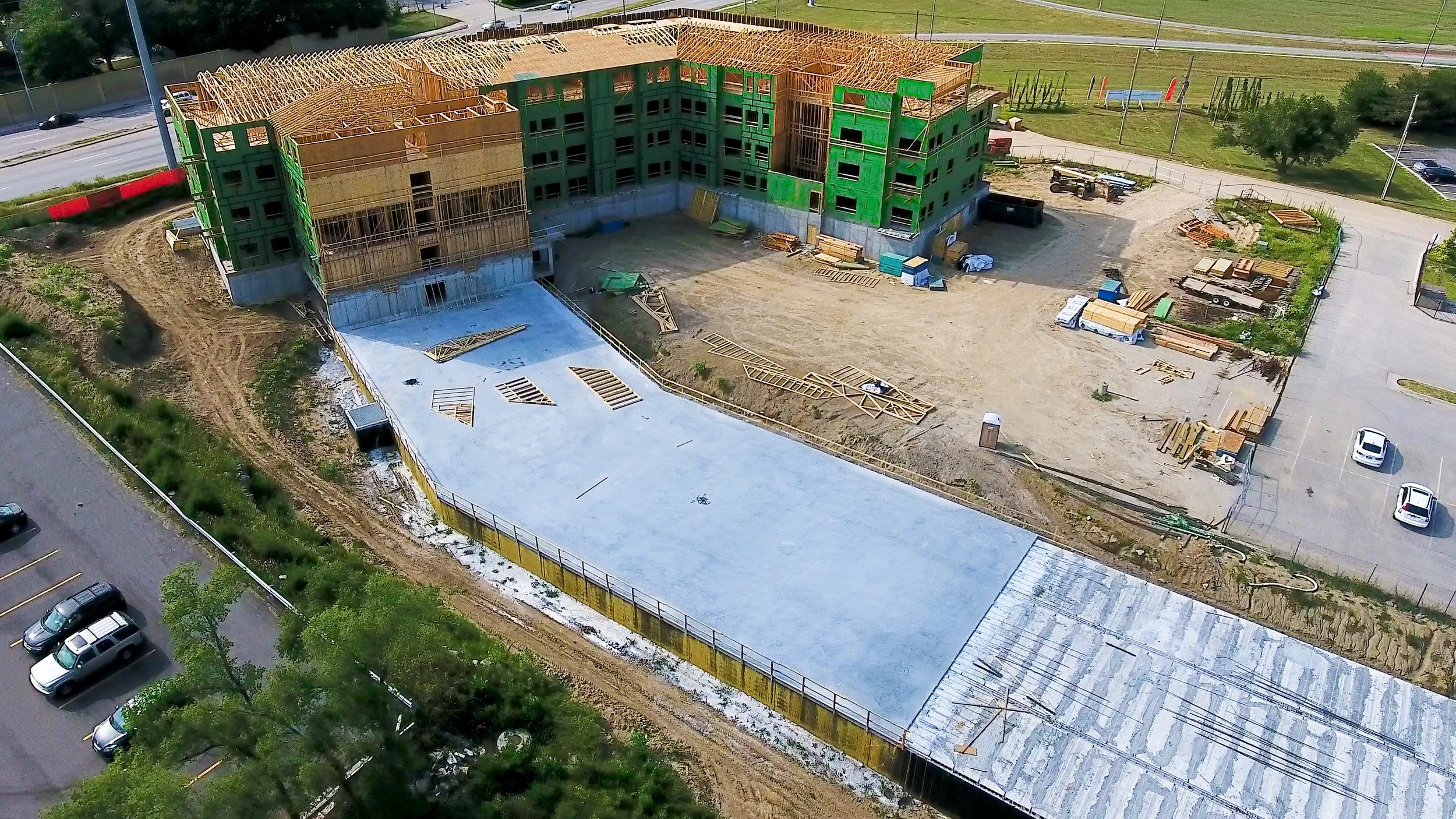
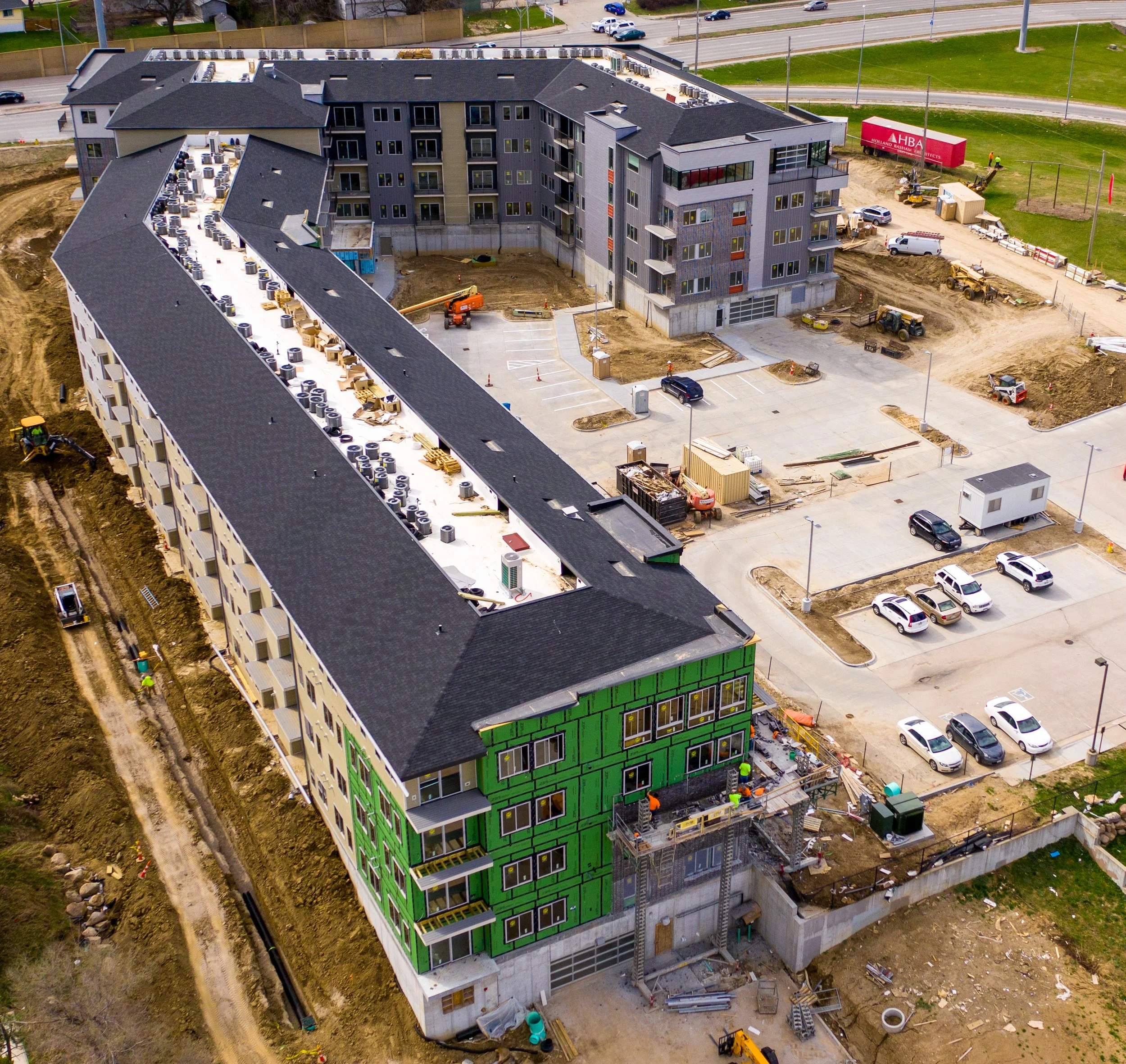
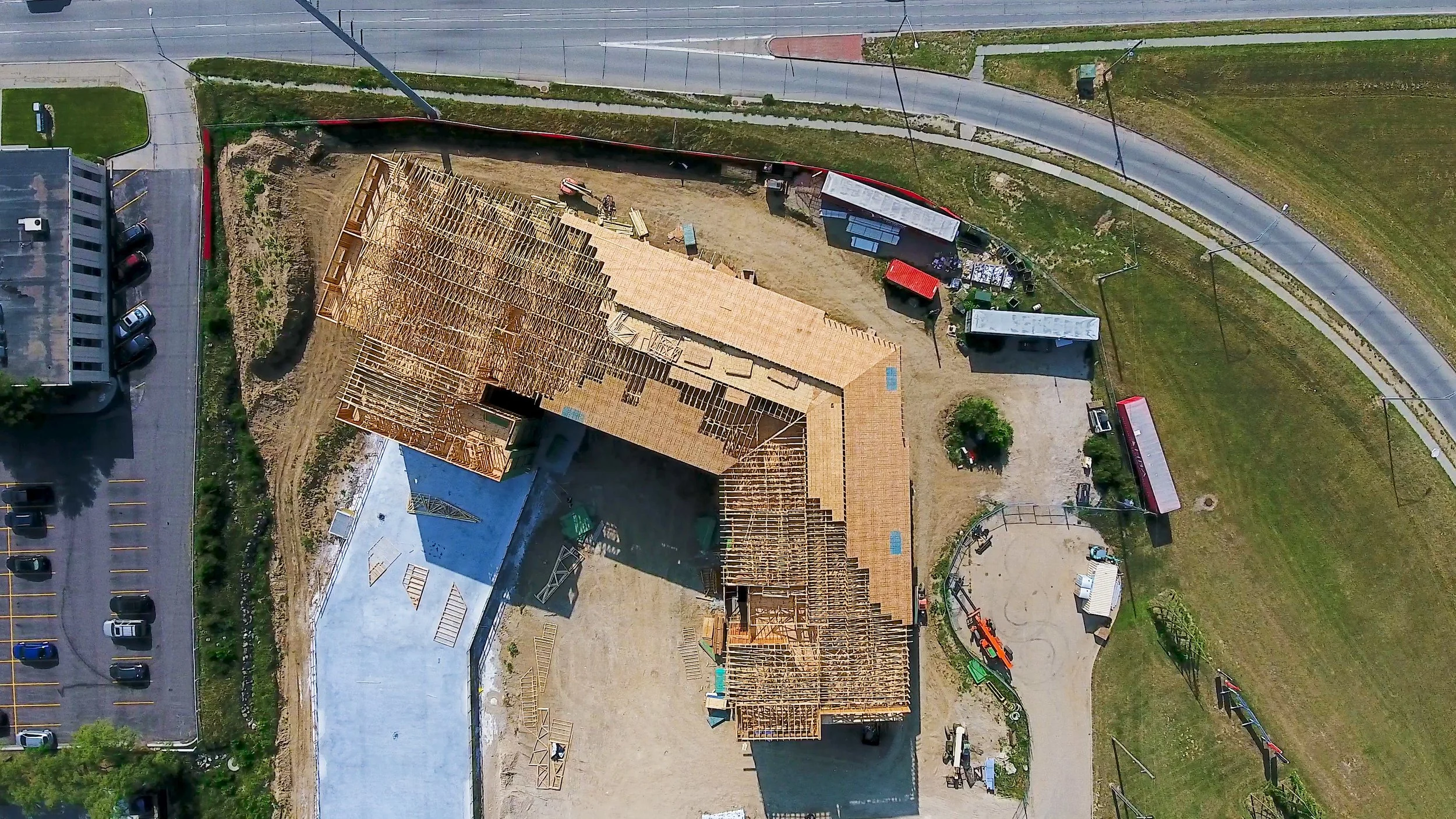
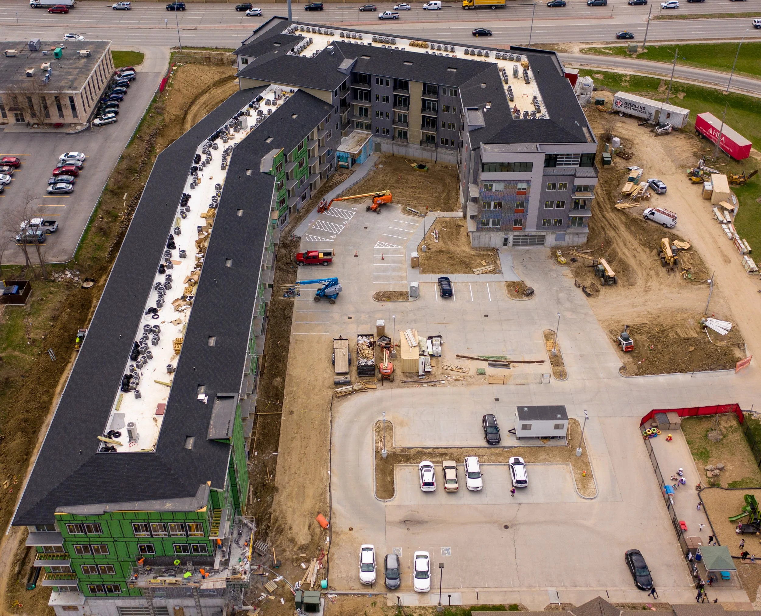
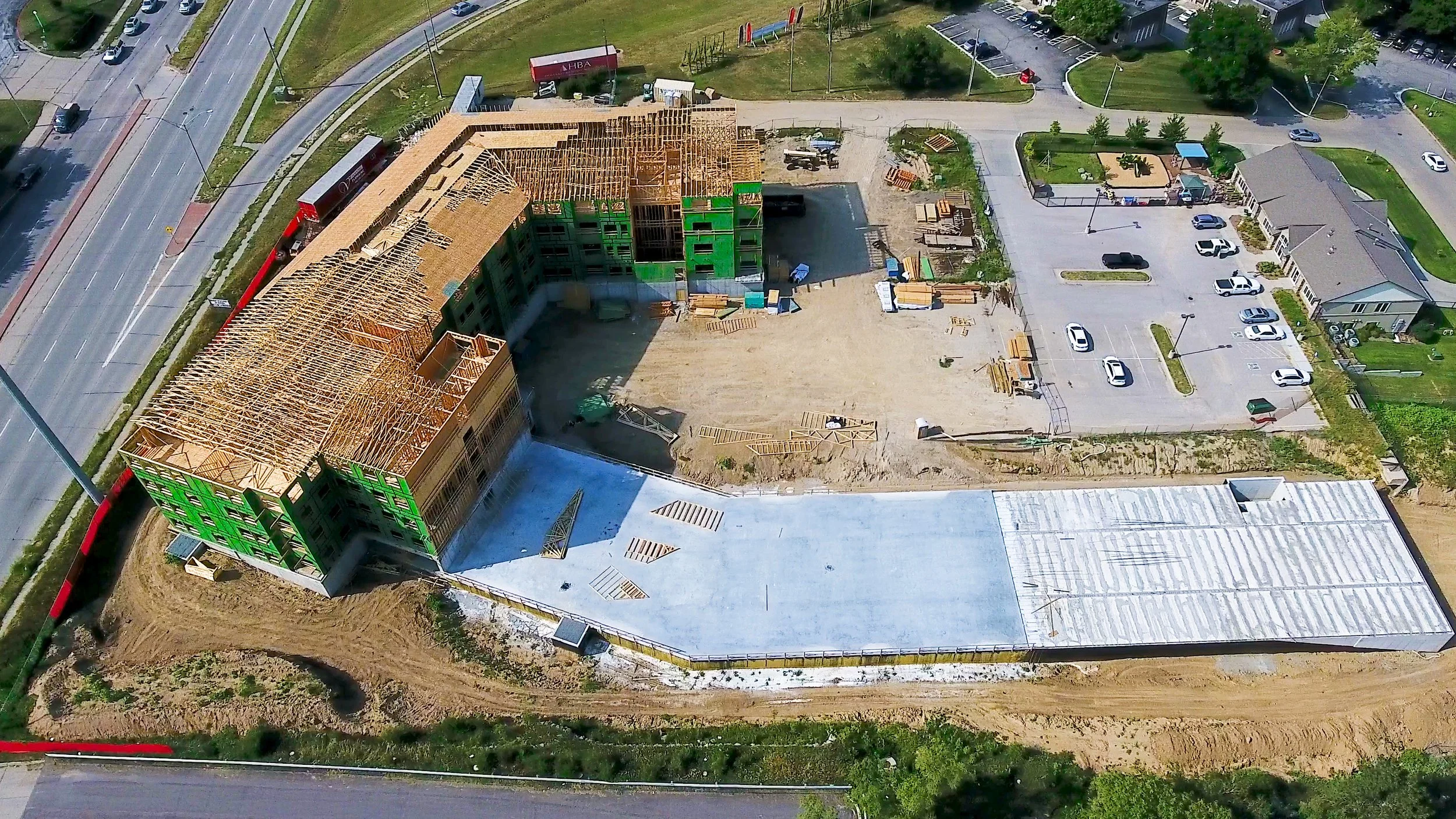
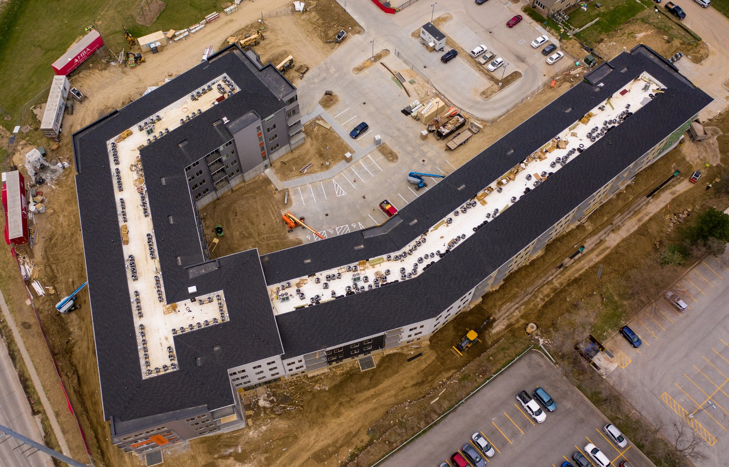
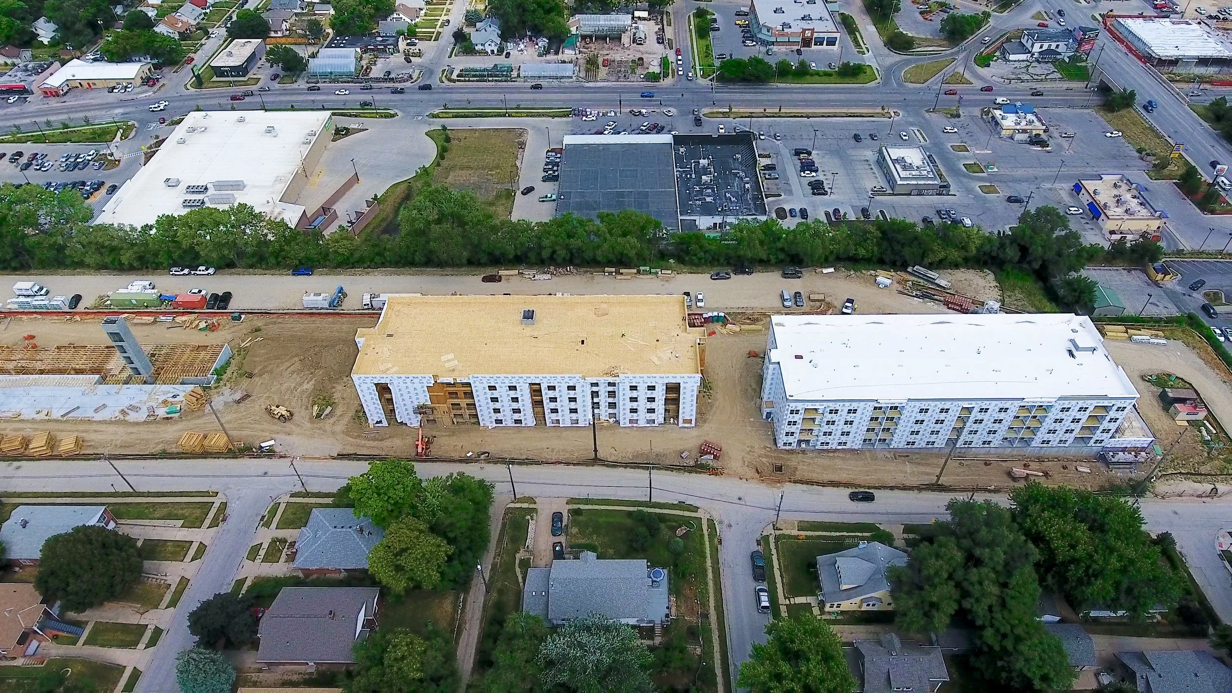
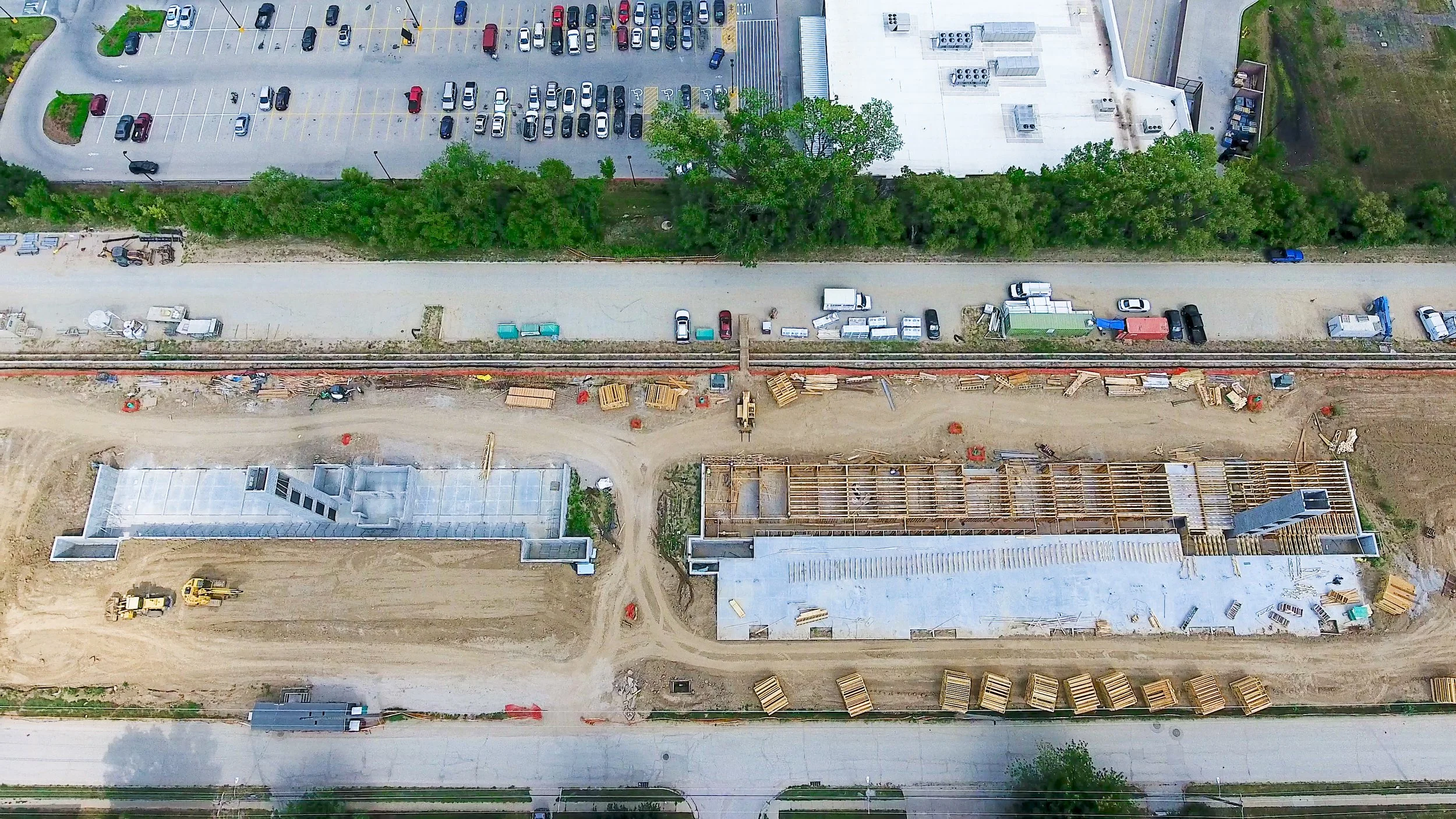
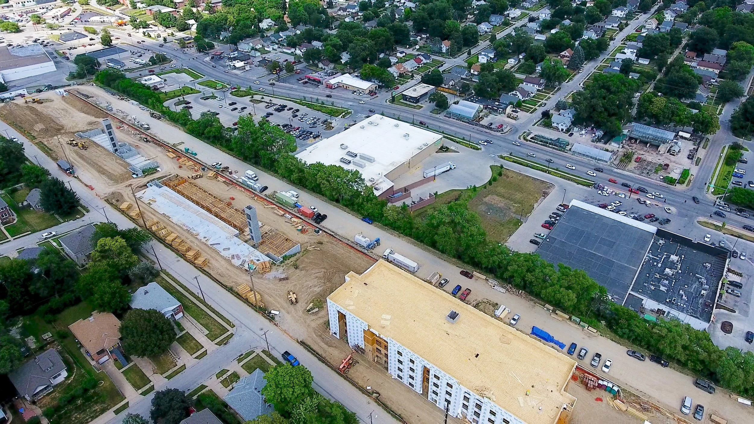
Aerial Construction Progress Monitoring
Track your project from start to finish with high-resolution aerial photography and video. We provide:
Weekly or monthly progress reports
Before, during, and after project documentation
Visual updates for stakeholders and investors
Survey - Ortho Map with annotations marked
Drone Survey Mapping & Measurements
We deliver high-precision mapping and survey data to support planning and execution:
2D orthomosaic maps
3D models and digital terrain models (DTMs)
Elevation, volume, and distance measurements
Stockpile and earthwork calculations
Drone mapping provides accurate, data-rich insights for site planning and project management.
3D Modeling & Site Analysis
Using photogrammetry and advanced imaging, we create:
Detailed 3D renderings
Terrain and surface models
Site visualization for planning and design
These models allow teams to identify issues early and optimize construction workflows.
Example of aerial measurement report
aerial Map showing elevation
aerial 3D Rendering of Mulch Pile
Benefits of Construction Drone Surveying
Using drones on your construction site gives you a competitive edge:
Enhanced Accuracy – High-resolution data with centimeter-level precision
Faster Project Timelines – Complete surveys significantly quicker than traditional methods
Better Decision-Making – Real-time data improves planning and execution
Reduced Risk – Minimize on-site hazards and manual inspections
Comprehensive Documentation – Maintain detailed records for compliance and reporting
Drones provide rapid, high-accuracy data for mapping, inspection, and construction monitoring, improving efficiency across every phase of a project.
Industries We Serve
Our construction drone services support:
Commercial construction companies
General contractors
Land developers
Civil engineers
Infrastructure and road projects
Why Choose Advanced Aerial Solutions?
FAA-certified drone pilots
High-resolution imaging and mapping technology
Fast turnaround times
Cost-effective solutions
Local expertise in Nebraska, Iowa, and surrounding areas
We are committed to helping you build smarter, safer, and more efficiently with cutting-edge drone technology.